
Written by: Andrew Forrest
Updated: July 2025
Ingleborough is one of the famous Yorkshire Three Peaks and is the most well-known, thanks to its striking flat-topped profile visible for miles around. Standing at 724 m (2,375 ft) high, it dominates the landscape of the western Dales. Hikers are drawn to this mountain not only for the Three Peaks Challenge but also for its unique geology, extensive caves, numerous walks and panoramic views from the summit.
This page contains affiliate links. If you buy products or services via these links, we may earn a small commission at no cost to you. If you are thinking of buying, please use our links, as it helps support our website and YouTube channel.
The distinctive shape of Ingleborough is a direct result of its unique geology. At its core, the mountain is built upon thick layers of Carboniferous limestone (the Great Scar Limestone) topped by alternating bands of shale and sandstone known as the Yoredale Series.

The Yorkshire Three Peaks Challenge walk path heading through some limestone on the way to Ingleborough
Crowning it all is a hard cap of Millstone Grit, approximately 30 m thick, which has protected the top against erosion. As the softer shales and sandstones weathered away in steps, they left behind a tiered, 'layer cake' appearance on Ingleborough's slopes and a broad, level summit plateau. This imparts the mountain with its famous flat top and stepped sides.
Limestone forms the foundation of the landscape here, creating spectacular karst features. Limestone pavements, expanses of bare rock cut into blocks (clints) and fissures (grikes), are well-developed on the flanks of Ingleborough. These pavements and scars evolved as glaciers stripped soil from the limestone, allowing rainwater to carve patterns into the rock.

Wooden boards to help keep you out of the boggy ground on the Yorkshire Three Peaks foothpath on Ingleborough
Beneath the surface, the porous limestone directs underground drainage: streams flowing off the gritstone and Yoredale beds vanish into the limestone, cascading into deep potholes and caverns.
Renowned cave systems, such as those linked to Gaping Gill (a massive shaft on Ingleborough's slopes), have developed in this way, and the water that disappears underground eventually resurfaces at cave entrances further down (for instance, at Ingleborough Cave). These geological formations create a paradise for hikers, geologists, and cavers alike.
Human history on Ingleborough is as layered as its geology. On the summit plateau, you can still find the tumbled stone ramparts of an Iron Age hill fort believed to have been built around 2,000 years ago.

The Yorkshire Three Peaks footpath with Ingleborough in the background
The Brigantes, a powerful Celtic tribe of northern Britain, are thought to have constructed this fort as a refuge and stronghold. It was an imposing site: the fort's stone walls enclosed about 15 acres of the summit, and the remains of several round hut foundations are visible inside. The location would have provided Iron Age inhabitants with a commanding view and strategic advantage over the surrounding valleys.

What an Iron Age fort on Ingleborough could have looked like
Later, during the Roman era, there is evidence that the fort (known to the Romans as King's Fort) may have been used or at least recognised by Roman forces - possibly even as a signal station, given the wide vista. Archaeologists have discovered that the summit was occupied year-round in the Iron Age, which is unusual for such an exposed location but suggests its significance as a tribal centre.

Old limstone kiln, just off the Yorkshire Three Peaks path near the Old Hill Inn
The name 'Ingleborough' reflects the mountain's heritage, with the first recorded use noted from 1165. The suffix '-borough' comes from the Old English burh, meaning a fortified place, which refers to the hill fort on top.
The first element 'Ingle-' links 'Ingle' to the Anglo-Saxon name for the English (Englisc), or to an Old English word (ing-hyll) meaning 'peak'. Regardless of its precise origin, the name underscores that this mountain was viewed as a significant fortified landmark long before modern hikers arrived.
Other people believe Ingle could derive from a word for 'fire' or 'beacon' (as in the Scots word ingle for fire). By that account, Ingleborough could mean 'fire fort', alluding to beacon fires that might have been lit on the summit in ancient times as signals.
Besides numerous paths over the lower slopes of Ingleborough, there are several well-trodden paths that lead to Ingleborough's summit, each with its own character and highlights. The main access routes include:

The flagged Yorkshire Three Peaks path as it heads back to Horton, with Pen-y-ghent on the horizon

Ingleborough's summit plateau from the cairn on Little Ingleborough

The small layby that affords some parking near the Old Hill Inn
Reaching the flat summit of Ingleborough rewards you with a magnificent 360° panorama. On a clear day, you can gaze across the Yorkshire Dales and spot the other two Yorkshire Three Peaks - Whernside and Pen-y-ghent.

Looking towards Whernside and the weather shelter from the trig point on Ingleborough's summit
To the west, you can see Morecambe Bay's gleaming sands, and as you turn to face the north, the Lake District fells appear on the horizon.

Looking out west towards Morecambe Bay from the trig point on Ingleborough's summit
To the south, on a clear day, you can see as far as the Snowdonia range. Whether in sunshine or mist, the sense of space and scenery from the summit of Ingleborough is unforgettable.

Weather shelter and seating on the summit of Ingleborough
One of Ingleborough's most renowned natural wonders is Gaping Gill, a vast chasm on the mountain's slopes where Fell Beck plunges underground. The stream plummets approximately 98 m (322 ft) into Gaping Gill, creating Britain's highest unbroken waterfall as it crashes into the cavern below. At the base lies the immense Main Chamber - the largest underground chamber in Britain that is open to daylight, reputed to be spacious enough to accommodate a cathedral. This awe-inspiring pothole was first fully explored in 1895 and has since become legendary among cavers.

Information board about Gaping Gill, with Gaping Gill below
Typically, Gaping Gill is only accessible to experienced cavers, but twice a year, the general public has an opportunity to venture down. If you wish to explore it further, the Bradford Pothole Club for a week in May and the Craven Pothole Club for a week in August set up a winch above it, allowing you to be lowered in a chair. More information regarding the charge, what to wear, and when it occurs is available on their respective websites.
It's a thrilling descent into the subterranean world - in about a minute, you are deposited on the cavern floor, surrounded by darkness, roaring water, and floodlit rock formations.
Exercise extreme caution when walking around the edge, as sadly, people have died from falling into Gaping Gill.
Trow Gill is a limestone ravine believed to have been formed by glacial meltwater during the last Ice Age. This narrow gorge has steep, towering cliffs that create a natural corridor through the landscape, making it a popular spot for walkers and geology enthusiasts alike. The path through Trow Gill leads on to Gaping Gill.

Trow Gill, near Ingleborough in the Yorkshire Dales
At the foot of Ingleborough, near Clapham, lies Ingleborough Cave, a family-friendly show cave that offers an accessible glimpse into the area's underworld. First opened to the public in 1837, it has been captivating visitors for nearly two centuries.

Information Board about Ingleborough Cave
The cave's passages, about 500 m of them, are well-lit and equipped with a concrete footpath, making it easy to explore without any caving expertise. Guided tours lead you through spacious chambers adorned with an array of speleothems (cave formations). You will see stalactites hanging from the ceiling, stalagmites rising from the floor, and flowstone cascades that resemble frozen waterfalls.

The entrance to Ingleborough Cave
Many formations have taken thousands of years to develop and now bear whimsical names. The cave also displays evidence of Ingleborough's ancient past: fossils in the walls and sediments left by Ice Age floods. Ingleborough Cave is a Site of Special Scientific Interest and part of the same cave system as Gaping Gill, which was finally linked by divers in 1983. Today, it remains one of the Dales' premier show caves, providing a dramatic subterranean adventure that all ages can enjoy.
Ingleborough isn't only for hikers - it's also the setting for a celebrated annual fell race. Each summer (traditionally on the third Saturday in July), the village of Ingleton hosts the Ingleborough Mountain Race as part of its gala day festivities. This historic race challenges runners to a roughly 11 km (6.8 miles) out-and-back course from Ingleton to the summit of Ingleborough and back down.
With 600 m of climb, the route is short but steep - a classic 'up and down' fell race. It starts in the sports field next to Ingleton's Community Centre, goes through the village, then ascends via Fell Lane and Crina Bottom to the peak. After rounding the summit trig point, runners must turn around and plunge down the same route. The current record is 44 minutes 15 seconds!
The event draws a dedicated field of fell runners from across Yorkshire and beyond, and spectators often line parts of the course to witness the exhilarating spectacle. The Ingleborough race is a proud local tradition, celebrating the village's connection to its iconic mountain and the sport of fell running.
Beyond the rocks and trails, Ingleborough comes alive with nature. The mountain and its surrounding dales form part of a National Nature Reserve, famed for its diverse upland habitats and species.

An information Board about Southerscales Nature Reserve on Ingleborough
In spring and summer, birdlife is particularly prominent - the haunting call of the curlew echoes across the slopes, and you may spot other moorland birds, such as lapwings, grouse, and cuckoos, returning to breed. The higher plateau and moorland are blanketed in heather, which bursts into purple bloom in late summer, accompanied by bilberry and gorse.

Some of the limestone pavement walked through when walking back to Horton in Ribblesdale from Ingleborough
Meanwhile, the limestone areas at lower elevations host more delicate treasures: wildflowers and rare plants nestled within the grikes (deep cracks) of limestone pavement. Tiny fern species and cushions of moss flourish in these sheltered niches. Ingleborough's grasslands and meadows can surprise you with bursts of colour, from the bright yellow globeflower to the pink clusters of bird's-eye primrose (also called the Yorkshire primrose) - both of which are locally rare and indicate well-preserved habitat.

Some of the yellow and purple flowers found around limstone on Ingleborough
Due to its ecological importance, much of Ingleborough is protected as a Site of Special Scientific Interest and serves as the focus of conservation initiatives. Projects like 'Wild Ingleborough' are working to restore native woodlands and expand habitats, aiming to reintroduce even more wildlife (from black grouse to rare butterflies) to the area.
Visitors can assist by adhering to the Countryside Code: stick to established paths on sensitive surfaces, keep dogs under control (especially during the ground-nesting bird season), and leave the flowers and rocks as you find them. With care, this wild corner of Yorkshire will remain a haven for its unique flora and fauna.
Yorkshire Dales mountain weather on Met OfficeNumerous footpaths and some named long-distance trails cross Ingleborough.
 |
 |
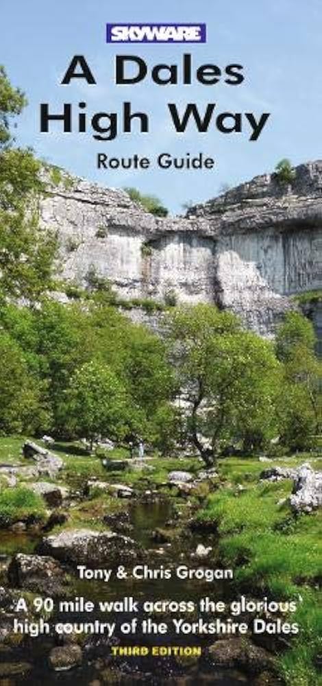
The Dales High Way is a 90-mile (140 km) walking route from Saltaire in West Yorkshire to Appleby-in-Westmorland in Cumbria. The route highlights the spectacular upland scenery of the Yorkshire Dales. Notably, the Dales High Way passes through the Yorkshire Three Peaks region. After climbing Ingleborough (at 724 m, the highest point of the route), it descends into Chapel-le-Dale and skirts around Whernside.
The Dales High Way heads from Feizor and Crummack and on up to Nick Pot. It then follows the Three Peaks route in reverse to head up over Ingleborough before descending down to the Old Hill Inn. Rather than following the Yorkshire Three Peaks route along Philpin Lane, it drops down to Chapel-le-Dale and heads towards Whernside from there.
Although the Dales High Way was established in 2007, the waymarking was finalised in 2013, and it was included in OS maps in 2014.
|
|
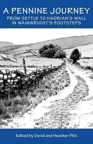
Another prominent trail in the area is 'A Pennine Journey,' a circular long-distance footpath inspired by a historical walk that crosses Ingleborough's summit. This route was created using existing roads and rights of way to closely follow Alfred Wainwright's original 1938 walk, which he documented. His version of 'A Pennine Journey' was published in 1986.

Whernside and the Ribblehead Viaduct from Ingleborough's summit plateau
This circular walk spans 247 miles, beginning and ending in Settle, located in the Yorkshire Dales National Park. The route mostly climbs the eastern side of the Pennines to Hadrian's Wall, which it follows for 21 miles before heading south along the western side of the Pennines, crossing Cross Fell and descending into the Eden Valley, passing through Sedbergh and Kirkby Lonsdale on its way back to Settle.
It may be an obvious mention, since you are on the Three Peaks website, but another renowned challenge is the Yorkshire Three Peaks route, which passes over Ingleborough on its way to finish back in Horton in Ribblesdale.

Yorkshire Three Peaks footpath sign on the way up to Ingleborough on the Yorkshire Three Peaks Challenge
This website provides comprehensive details about the Yorkshire Three Peaks footpath, which stretches 24 miles and includes over 1,600 meters of ascent in the Yorkshire Dales. The route features the peaks of Pen-y-ghent (694 metres, the lowest), Whernside (736 metres, the highest), and Ingleborough (724 metres). While most walkers begin and end in Horton in Ribblesdale, the circular nature of the trail allows you to start at any point along the path.
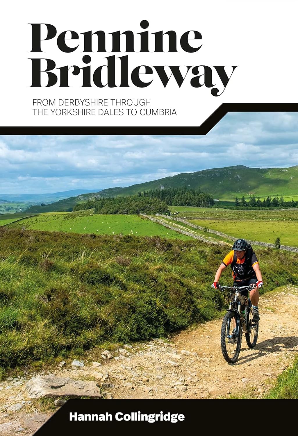
The Pennine Bridleway is a long-distance trail in England designed specifically for horse riders, mountain bikers, and walkers. Stretching approximately 205 miles (330 km) from Middleton Top in Derbyshire to Ravenstonedale in Cumbria, it crosses some of the most rugged and scenic landscapes of the Pennines, often called the 'backbone of England'.
The route goes through several national parks, including the Peak District, Yorkshire Dales, and North Pennines Area of Outstanding Natural Beauty, showcasing dramatic moorlands, rolling hills, and historic trails. It's different from the nearby Pennine Way, offering a more accessible route with gentler gradients to suit riders and cyclists.

A Yorkshire Three Peaks and Pennine Way sign passed on the Yorkshire Three Peaks walk
What makes the Pennine Bridleway special is its focus on multi-user access. The trail combines ancient packhorse routes, drovers' roads, and newly constructed link paths, carefully designed to create a continuous and legally accessible bridleway.
Along the way, travellers can see charming villages, stone-built farms, and historic landmarks like the Settle Loop and the Mary Towneley Loop, a popular circular route in the South Pennines. Whether done in sections or all at once, the Pennine Bridleway provides a rich mix of natural beauty, heritage, and adventure for those exploring on horseback, bike, or on foot.
The Pennine Bridleway passes through Clapham before climbing to Gaping Gill and on towards High Birkwith, passing over Ingleborough's south-eastern flanks. Whilst there does not appear to be any up to date walking books of the Pennine Bridleway, there is a cycling book that takes you along the route in more detail:
|
|

A section of path being improved on the Yorkshire Three Peaks walk
While discussing paths, the National Park Authorities and local volunteers maintain the routes, install waymarks and signs, and carry out path repairs and improvements. Therefore, please stay on the paths whenever possible, both for your safety and to protect the fragile soil and rare plants. Please consider donating to them so that they can continue to carry out this vital work.

A section of flagged path on Ingleborough, to keep you off the boggy ground
Enjoy your exploration of Ingleborough, whether on foot or through these stories!