
Written by: Andrew Forrest
Updated: July 2025
Pen-y-ghent is situated in the Yorkshire Dales and is the lowest of the Yorkshire Three Peaks, standing at 694 metres (2,277 feet).
This page contains affiliate links. If you buy products or services via these links, we may earn a small commission at no cost to you. If you are thinking of buying, please use our links, as it helps support our website and YouTube channel.
Pen-y-ghent's distinctive profile is the result of its ancient geological history. The hill is formed from Carboniferous limestone deposited approximately 340 million years ago in a warm, shallow tropical sea. This limestone, composed of accumulated marine fossils (including fragments of crinoids, or 'sea lilies'), forms thick, horizontal beds that appear as light grey scars on Pen-y-ghent's slopes.

Pen-y-ghent's distinctive tiered shape
As the Carboniferous period progressed, the climate cooled and sea levels fell around 320-300 million years ago, exposing the area to river deltas. During this time, sandstones and gritstones were deposited by river floods, which later solidified into the Millstone Grit that now caps Pen-y-ghent's summit.
Over the years, varying erosion rates of these rock layers have given Pen-y-ghent its tiered shape. The limestone ledges are relatively resistant, forming two prominent terraces, whereas the softer sandstone layers between them have eroded back, creating steep steps in the profile.

The initial set of steep steps up Pen-y-ghent
The uppermost cliffs, situated just below the summit, are composed of coarse sandstone (also known as gritstone) blocks, many of which display cross-bedded patterns formed by ancient river currents. This hard gritstone 'cap' safeguards the peak. Beneath it, the hill's slopes are strewn with shattered scree of both grit and limestone, and scattered with intriguing features like chert nodules (glass-like silica nodules within the limestone) and mineral deposits (e.g. botryoidal iron oxide 'pebbles') left behind by groundwater.

The second steep climb up Pen-y-ghent
In essence, Pen-y-ghent can be compared to a layered cake comprising limestone at the bottom, sandstone/shale in the middle, and gritstone on top. This geological structure is part of the Yoredale series in the Yorkshire Dales, which is characterised by its alternating patterns of limestones, shales, and sandstones that developed as ancient environments shifted between tropical seas and river deltas.
Limestone is a rock primarily composed of calcium carbonate, which is derived from marine organisms, whereas gritstone is a coarse sandstone formed from river sediments. Visean and Namurian are subdivisions of the Carboniferous period, representing the limestone and gritstone epochs, respectively. Fundamental to this is the fact that they denote the era when Yorkshire was initially a seabed and subsequently transformed into a river delta. This extensive geological history provides the backdrop for the Yorkshire Dales landscapes we observe today.
Despite its rugged facade, Pen-y-ghent is home to a diverse array of flora and fauna that are adapted to the unique combination of limestone and moorland habitats found in the Yorkshire Dales.
Plant life changes with elevation, and on the lower slopes and limestone outcrops, you may find hardy wildflowers.
In early spring (late March to April), the craggy white limestone cliffs are famously adorned with purple saxifrage blooms - a tiny bright-purple flower that clings to lime-rich ledges. In fact, author Alfred Wainwright dubbed Pen-y-ghent 'the mountain of the purple saxifrage', noting April visitors will see its cliffs 'decorated... with vivid splashes of colour'. This flower is a true alpine species and a glacial relic: as the Ice Age glaciers retreated, saxifrage survived by colonising high, cold niches like Pen-y-ghent's west face.
It is rare in England, found only in a few high limestone areas such as Pen-y-ghent and Ingleborough. Other notable wildflowers include bird's-eye primrose (a pink-petaled primrose that favours damp limestone flushes) and early purple orchids found in the meadows and dale bottoms.
On the higher ground, where acidic peat crowns the gritstone, look for swathes of heather and bilberry. Come summer, heather moorland dyes the summit plateau purple and bronze, while in boggy patches, cotton-grass produces tufts of white that dance in the wind. Even the elusive cloudberry, a boreal berry plant, has been spotted on the high peat near Pen-y-ghent - an unusual find this far south, indicating the chilly, wet conditions atop the fell.
Wildlife watchers will find abundant birdlife. The pastures and moors around Pen-y-ghent are prime upland bird habitats. In the grassy lower fields, you might see or hear lapwings performing display flights in spring. As you ascend to the open moor, the calls of curlew and the song of the skylark become familiar. Living near curlews, their call is my favourite birdsong, signalling the end of winter and the arrival of spring.
Skylarks sing high everhead on sunny days, while meadow pipits dart close to the heather. On the summit plateau's wet expanses, listen for the golden plover - these gold and black waders nest on the Pennine Moors. Walkers in late spring often hear their whistle and may spot a pair on peat mounds. Sphagnum moss and cotton-grass indicate you are in golden plover territory.
Animals are fewer on these windswept fells, but you may encounter hardy hill sheep (the ubiquitous Dales Rough Fell and Swaledale sheep) grazing even close to the summit.
Pen-y-ghent is not simply a rock and peat hill - it also hides a watery underworld. The fell's geology gives rise to classic karst (limestone) features. Rainwater seeps through cracks in the limestone, forming caves, potholes, and unexpected springs. On Pen-y-ghent's western side are two famous potholes: Hunt Pot and Hull Pot.
Hunt Pot is a narrow, 60-metre deep shaft located quite close to the Yprkshire Three Peaks path - essentially an open limestone chimney formed where a surface stream encountered a weakness and dissolved its way underground.

Hull Pot near Pen-y-ghent
Nearby and just a 300-metre detour from the Three Peaks path lies the gaping chasm of Hull Pot. Hull Pot is reputed to be the largest natural hole in England, measuring 91 metres long, 18 metres wide, and 18 metres deep. In dry conditions, the beck on the other side of Hull Pot disappears before reaching the top, manifesting as a waterfall further down.

Hull Pot full of water after very, very heavy persistent rain
After periods of rain, water can flow over the top and create a waterfall down the side of the pot. During bouts of extreme rain, such as those we experienced on January 10, 2023, Hull Pot can fill completely with water. That's equivalent to filling nearly 200,000 baths! That is the only time in my life that I have ever known it to do that. You can check out video footage of this in our Pen-y-ghent walk video.

The overflowing beck filling Hull Pot after a very intense week of rain
Fortunately, the water swiftly drains through subterranean passages. In fact, Hull Pot and Hunt Pot are connected to an extensive cave system below: water that sinks here travels underground and eventually resurfaces at Brants Gill Head, a resurgence further down in the valley.
If you visit either of these pots, be very careful, they are unfenced and have sheer drops, so ensure you keep children and animals well away.
Pen-y-ghent's name suggests a rich cultural heritage: it derives from Cumbric (an ancient Celtic language once spoken in this area), and it is generally acceptable to write Pen-y-ghent with or without the hyphens surrounding the 'y'. However, most current spellings include the hyphens, so Pen-y-ghent.

Pen-y-ghent from the Yorkshire Three Peaks path
Its derivation, however, is somewhat ambiguous. 'Pen' is from Cumbric and in today's Welsh language means 'top' or 'head'. 'Y' is taken from the definitive article 'the'. 'Ghent' remains the uncertain part. It could mean 'edge' or 'border' if derived from 'gint', but it may also mean 'heathen'.
So, possibly 'hill on the border' or 'top of the edge'. Border of what, we're not sure - perhaps the boundary of ancient tribal lands or simply the edge of Ribblesdale. Traditionally, it has been translated as 'hill of the winds', possibly due to the blustery wind often experienced on the summit, but the linguistic version is probably more accurate.

The trig point on Pen-y-ghent
Attached to the trig point on Pen-y-ghent's summit is a QR code that provides access to Pen-y-ghent's toposcope, an augmented reality view displaying the names of the surrounding hills. Unfortunately, during my recent visits to the trig point, I couldn't get it to work, so I can't show you what it reveals!
Local folklore and history intertwine around the mountain. Stories of giants are common in Yorkshire Dales legend, and Pen-y-ghent has its share. In a valley to the north-east lies a site marked on old maps as the Giant's Graves. These grassy mounds by Pen-y-ghent Gill were once thought to be tombs of giants who roamed the dale.

Giant's Graves near Pen-y-ghent
While the idea fires the imagination, they are in fact Neolithic burial cairns or round barrows. Excavations in the 1930s uncovered human bones and ancient grave goods, confirming their origin as prehistoric tombs (albeit for humans, not giants). Still, the name 'Giant's Graves' persists, a nod to the giants of legend. It's easy to see why earlier inhabitants conjured myths here: Pen-y-ghent and its neighbours loom like sleeping giants themselves, and dramatic features like Hull Pot could easily be imagined as the work of giants or trolls.
There are also stories linked to the mountain's water and weather. Some say that on certain summer days, a circular rainbow (a Brocken spectre) can form in the mist around Pen-y-ghent's summit, and superstitious locals once took this as a sign of auspicious events or a manifestation of the mountain's spirit.
Human history on Pen-y-ghent is rich too. The summit features the remains of a prehistoric Bronze Age cairn (a mound of stones likely marking an ancient burial or a beacon), which may indicate that people have been climbing this hill for thousands of years.
Pen-y-ghent was mentioned by antiquarian John Leland in the 16th century, and in 1781, the geologist John Michell conducted some of the earliest studies of Yorkshire's cave systems here.
By the Victorian era, Pen-y-ghent had become a destination for both adventurers and scientists, notably, in 1887, it was enshrined in the first Yorkshire Three Peaks challenge. The mountain's allure remains timeless, blending natural wonder with a hint of mystery from its legends.
One of the rewards of climbing Pen-y-ghent is the expansive panorama from its 694 m (2,277 ft) summit. On a clear day, the view stretches for miles across the Yorkshire Dales and beyond. A wall bisects the summit, with a stone trig point and a wind shelter wall marking the flat summit plateau.
To the west, the broad flat top of Ingleborough rises prominently, flat-topped and striking against the horizon. At 724 m, Ingleborough is the taller sibling and the last of the Three Peaks to be tackled, provided you start from Horton in Ribblesdale and walk in an anti-clockwise direction.

Looking towards Ingleborough from the summit of Pen-y-ghent
Slightly to the right of Ingleborough is Simon Fell, and then Whernside, which at 736 m, is the tallest of the Three Peaks. If you are walking the Yorkshire Three Peaks and not just doing a Pen-y-ghent circular walk, you can see most of the route ahead now... there is a long way to go still! In front of them, you get your first glimpse of the Ribblehead Viaduct.

The Three Peaks path stretches out in front as you descend from Pen-y-ghent with Ingleborough and Whernside visible on the horizon
To the north of Pen-y-ghent lies Plover Hill, and in the eastern panorama, the dales and moors of Craven and Nidderdale unfold. You can look down into the upper reaches of Littondale and Wharfedale. The long back of Darnbrook Fell stretches eastward. Further on the horizon, you may see Great Whernside, which at 704 m should not be confused with Whernside, and to its left, Buckden Pike (702 m).

Fountains Fell from the summit of Pen-y-ghent
To the south-east, just across the valley, lies Fountains Fell (668 m), while to the south-west, Smearsett Scarr and the distinctive outline of Pendle Hill (557 m) in Lancashire can also be seen, a solitary whale-back hill renowned for its witch trials.
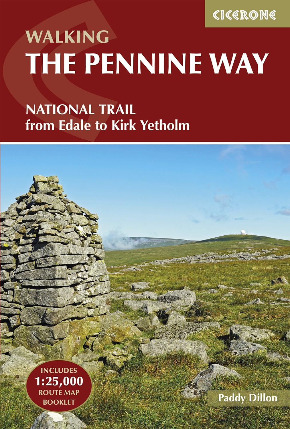
Pen-y-ghent is crisscrossed by historic footpaths, some of which have become internationally known walking routes. The most famous is the Pennine Way, Britain's first national long-distance trail, which was officially opened in 1965.
 |
 |
The Pennine Way passes right over Pen-y-ghent's summit, making it a highlight (and, for north-bound walkers, one of the first big climbs) of the 268-mile trail. The path comes up Pen-y-ghent's southern side, joining the Three Peaks route at a path junction near Gavel Rigg and then ascending steeply to the top. Hikers on the Pennine Way thus get to bag one of the Yorkshire Three Peaks as part of their journey.

The Pennine Way joins the Yorkshire Three Peaks path hear, as they both make their way up Pen-y-ghent
This route was so heavily used that erosion became an issue - today, you'll find sections of stone-slabbed steps and pitching on Pen-y-ghent, installed to protect the fragile peat and grass from hundreds of boots and as you descend the north side on the Pennine Way, you'll walk down some flagstone steps.

The Pennine Way and Yorkshire Three Peaks signpost on the summit of Pen-y-ghent
The Pennine Way itself stretches for about 268 miles (431 kilometres) through the rugged heart of northern England, from Edale in Derbyshire's Peak District to Kirk Yetholm on the Scottish border. Famous for its breathtaking moorlands, windswept hills, and remote valleys, the trail passes through three national parks: the Peak District, Yorkshire Dales, and Northumberland.
Highlights include the dramatic limestone landscape of Malham Cove, Pen-y-ghent, the spectacular waterfall High Force, and the wild and expansive Cheviot Hills. It's an iconic route that rewards walkers with stunning views and a genuine sense of adventure.

The gate where the Pennine Way leaves the Yorkshire Three Peaks footpath, as it heads down Horton Scar Lane to Pen-y-ghent
The Pennine Way also passes through Horton in Ribblesdale as part of its journey.
Walking the Pennine Way offers a fantastic experience of England's wild and varied landscapes, but it can also be challenging due to unpredictable weather and rough terrain. Good preparation and reliable gear are essential. Completing the entire trail typically takes between two to three weeks, though many walkers tackle shorter sections as day hikes or weekend trips. Along the way, cosy villages and welcoming pubs offer respite and refreshment, providing opportunities to enjoy local hospitality and share stories with fellow walkers. For anyone passionate about walking, the Pennine Way truly represents one of Britain's greatest outdoor experiences.

Heading along the Pennine Way down Horton Scar Lane, heading towards Horton in Ribblesdale
|
|
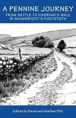
The 'A Pennine Journey' trail passes through Horton in Ribblesdale before following the lower slopes of Pen-y-ghent and comes very close to Hull Pot on its route to Foxup. 'A Pennine Journey' was devised using existing roads and rights of way to closely follow Wainwright's original 1938 walk, which he documented. His 'A Pennine Journey' walk was published in 1986.
This circular walk is 247 miles long, starting and finishing in Settle, located in the Yorkshire Dales National Park. The route primarily ascends the eastern side of the Pennines to Hadrian's Wall, which it follows for 21 miles before heading back south along the western side of the Pennines, over Cross Fell and down the Eden Valley, passing through Sedbergh and Kirkby Lonsdale on its return to Settle.
It may be an obvious mention, since you are on the Three Peaks website, but another renowned challenge is the Yorkshire Three Peaks route, which passes over Pen-y-ghent on its way to Whernside and then Ingleborough.
This website provides comprehensive details about the Yorkshire Three Peaks footpath, which stretches 24 miles and includes over 1,600 meters of ascent in the Yorkshire Dales. The route features the peaks of Pen-y-ghent (694 metres, the lowest), Whernside (736 metres, the highest), and Ingleborough (724 metres). While most walkers begin and end in Horton in Ribblesdale, the circular nature of the trail allows you to start at any point along the path.
|
|
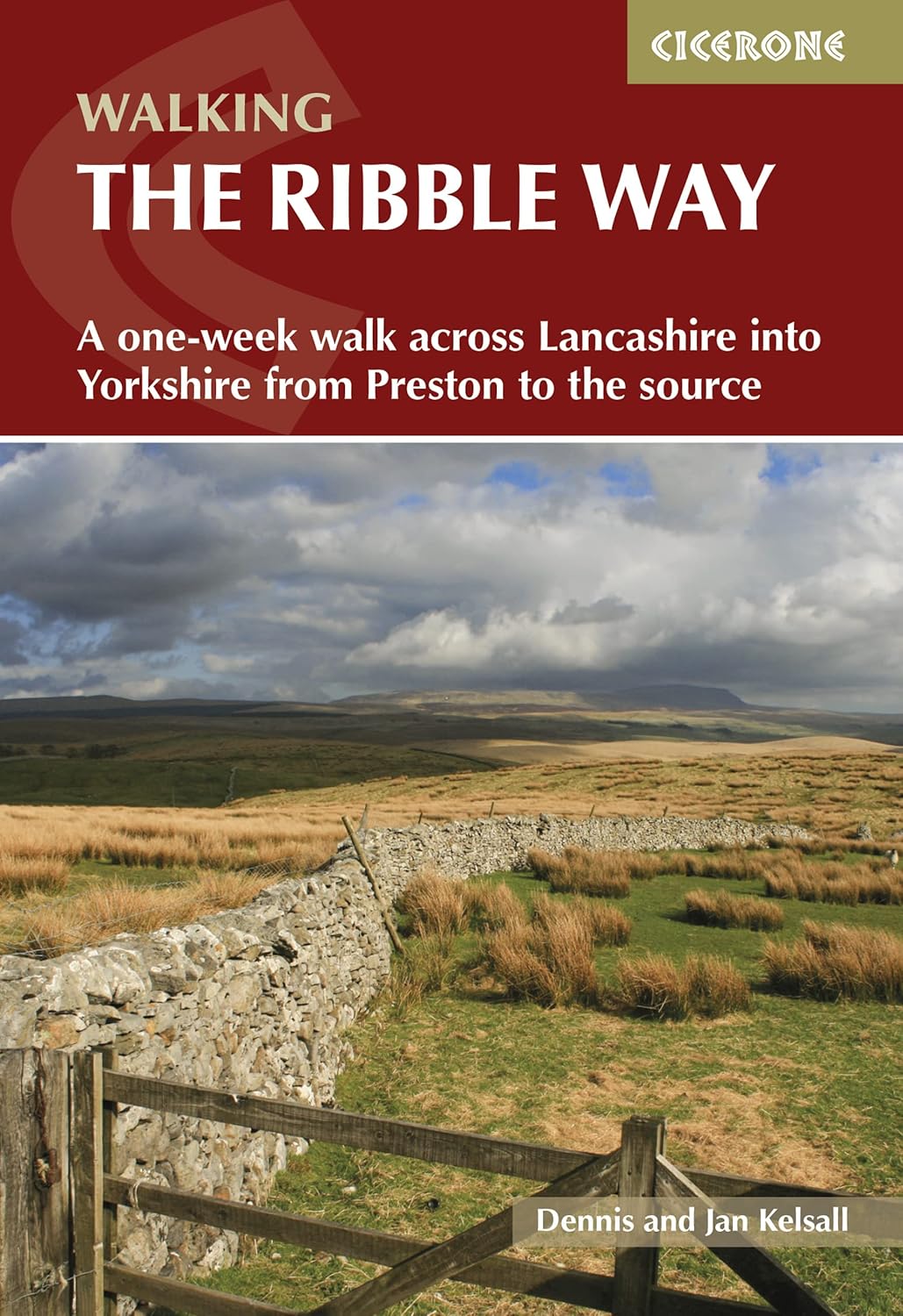
In the valley on the far western slopes of Pen-y-ghent, the Ribble Way long-distance path traverses Horton-in-Ribblesdale and runs roughly parallel to the river. Although it does not ascend Pen-y-ghent, it merits a mention. Near Horton in Ribblesdale, it connects with the Pennine Way and offers low-level walking alternatives should the high fells be enveloped in cloud.
The Ribble Way is a beautiful long-distance trail that traces the River Ribble yjrough Lancashire and North Yorkshire, covering approximately 72 miles (116 kilometres). It starts at the river's source near Ribblehead in the Yorkshire Dales and gradually meanders south-west, showcasing tranquil countryside, verdant valleys, and delightful historic villages.
Noteworthy stops along the route include the impressive Ribblehead Viaduct, which you pass on the Yorkshire Three Peaks walk, as well as the picturesque towns of Settle, Clitheroe, and Ribchester, each brimming with history and charm.

Crossing Gayle Beck on the Yorkshire Three Peaks walk. About one mile downstream where Gayle Beck and Cam Beck meet, they form the start of the River Ribble
Ideal for walkers of all abilities, the Ribble Way offers a relaxed pace and easy terrain, making it perfect for leisurely exploration or shorter day walks. The route often follows riverside paths and quiet lanes, offering excellent opportunities to spot wildlife, including kingfishers, herons, and even otters
Along the way, welcoming pubs and cafés invite walkers to pause and sample local specialities from Lancashire and Yorkshire. Whether you choose to explore just a segment or tackle the entire trail, the Ribble Way offers an enjoyable and accessible means to experience some of northern England's most picturesque countryside.
While discussing paths, the National Park Authorities and local volunteers maintain the routes, install waymarks and signs, and carry out path repair and improvement work. Therefore, please stay on the paths whenever possible, both for your safety and to protect the fragile soil and rare plants. Please consider donating to them so that they can continue to carry out this vital work.

The Three Peaks donation box on the Three Peaks path as it heads towards Pen-y-ghent
Enjoy your exploration of Pen-y-ghent, whether on foot or through these stories!
Yorkshire Dales mountain weather on Met Office