
Written by: Andrew Forrest
Updated: July 2025
Welcome to the Yorkshire Dales! This is an upland region in Northern England renowned for its green valleys ('dales'), heather-covered hills, and picturesque stone-built villages. The Dales are part of the Pennine Mountains, sometimes referred to as the 'backbone of England', and are predominantly located in the county of North Yorkshire, with portions extending into Cumbria (and even a small corner of Lancashire).
This page contains affiliate links. If you buy products or services via these links, we may earn a small commission at no cost to you. If you are thinking of buying, please use our links, as it helps support our website and YouTube channel.
In simple terms, they are valleys and hills shaped by rivers and glaciers, each typically named after the river that flows through (for example, Wharfedale along the River Wharfe, Swaledale along the River Swale). These valleys stretch across the region, separated by high ridges and moors.

Malham Cove in the Yorkshire Dales
Picture patchwork-green meadows dotted with grazing sheep, divided by a lattice of dry stone walls climbing up the slopes - that's the classic Dales scenery. This pastoral landscape is punctuated by rugged hills, steep cliffs, and the occasional sparkling waterfall. It's a place where nature and farming culture intertwine, creating a vista that feels both timeless and welcoming.
The Yorkshire Dales have long been a magnet for walkers and outdoor lovers. Many come for the famous Yorkshire Three Peaks walk, an endurance hike taking in the trio of summits Whernside, Ingleborough, and Pen-y-ghent, but discover there's so much more to enjoy beyond that one (admittedly awesome) day out.

The stepping stones at Stainforth
The Yorkshire Dales region is mainly protected as a National Park, one of 15 such parks in the UK. The Yorkshire Dales National Park was established in 1954 to preserve its breathtaking scenery, wildlife, and cultural heritage.
Today, it covers most of the Dales proper (excluding Nidderdale, which is a separate designated Area of Outstanding Natural Beauty) and includes regions such as the Howgill Fells and Mallerstang, added during the 2016 expansion. If you look at a map, the park stretches from the market town of Settle in the south to Kirkby Stephen in the north, and from near Kirkby Lonsdale in the west across to Masham in the east. Within this area are rolling hills, deep valleys, limestone cliffs, and hundreds of miles of footpaths to explore.

The Yorkshire Dales National Park Centre at Malham
One special honour: in 2020, the Dales was designated an International Dark Sky Reserve, recognising its exceptionally starry night skies and low light pollution. On clear nights, you can see the Milky Way arching over the hills - a magical experience whether you camp or stay overnight.
The park is not an empty wilderness; it's a vibrant landscape with around 24,000 residents spread across villages and farms. There are over a thousand farms here, and more than 95% of the land is privately owned, much of which is used for sheep farming and cattle grazing. The status of a National Park ensures that development is regulated and the environment is managed sustainably, while traditional activities such as farming continue.
In fact, tourism and agriculture are the twin pillars of the local economy. That's why you'll see so many sheep (the hardy Swaledale breed with curved horns and black faces is an icon of the Dales) and find delicious local produce like Yorkshire lamb and Wensleydale cheese on pub menus.
The area is managed by the Yorkshire Dales National Park Authority, which acts somewhat like a local government within the park. Their mission is twofold: (1) to preserve and enhance the natural beauty, wildlife, and cultural heritage of the Dales, and (2) to promote opportunities for the public to understand and enjoy those special qualities.

The Yorkshire Dales National Park Centre at Grassington
In doing so, they also aim to promote the economic and social well-being of local communities - in plain terms, to help villages thrive and support initiatives such as local businesses, schools, and services, so that the Dales remain a vibrant landscape, not just an outdoor museum.
A great deal! They maintain hundreds of miles of footpaths and bridleways, ensuring that walkers have access and clear signage. They operate visitor centres and the Dales Countryside Museum (in Hawes) to educate people about local heritage. They engage in conservation projects, from repairing historic barns and cherished dry stone walls to replanting woodlands and safeguarding hay meadows.
The Park Authority serves as part of the planning authority for the area; any new building or extension requires their permission to ensure it aligns with the character of the Dales. This helps maintain the quaint appearance of those villages and prevents unsuitable development.
In short, the National Park designation ensures that the Yorkshire Dales' special qualities - from its scenic vistas to its historic villages - are protected for future generations, while remaining a working, welcoming place today.
Stepping into the Yorkshire Dales feels like entering a living postcard of the English countryside. The characteristic scenery here is a harmonious mix of nature and human touch. You'll see green upland pastures separated by dry-stone walls and grazed by sheep and cattle. Many of those walls date back centuries, built stone by stone without mortar, winding over hills and along roads in an 'unfathomable network' that truly defines the Dales' look. In fact, there are an estimated 5,000 miles of dry stone walls in the Dales alone - if you laid them end to end, they would stretch from England to India!
These walls were often built during the 1700s Enclosure Acts, partitioning the land into the patchwork of fields we see today. Beyond their practical use of containing livestock, they've become an iconic sight, inspiring local poets and painters.
As you walk, take a closer look: the craft of drystone walling means each stone is carefully fitted; little gaps provide habitat for mosses and even birds (wrens sometimes nest inside the crevices). It's hard to imagine the Dales without these walls - they link the present to generations past and give the landscape that timeless, storybook quality.
Another human touch dotting the valleys are the field barns (stone barns built out in the meadows). In Swaledale and Wensleydale especially, you'll spot solitary grey-brown barns in the middle of green fields. Many are 18th- to 19th-century remnants of a farming system where hay was stored in the barn and cattle wintered there.
The beauty of the Yorkshire Dales isn't merely superficial - it's founded on some fascinating geology. Beneath your feet lies predominantly Carboniferous limestone, a pale grey rock formed in warm tropical seas around 350 million years ago. Over thousands of years, this limestone has been shaped by water and ice to create the Dales' dramatic features.

Stainforth Force on the River Ribble
Many valleys are U-shaped glacial valleys, carved out by glaciers during the last Ice Age. For example, if you visit Kingsdale or Chapel-le-Dale, you can clearly see the broad, flat valley bottoms and steep sides resulting from glacial action. Other valleys are V-shaped, formed by rivers - the Dales provide a textbook study of geological processes, yet you don't need to be a geologist to appreciate the variety of landscapes they create.
Perhaps the most famous geological sights are the limestone formations. Don't miss Malham Cove, a vast, curved limestone cliff resembling a giant amphitheatre. It towers approximately 260 feet high, and atop it lies a surreal limestone pavement - a flat expanse of rock etched with fissures resembling a grid.

Malham Cove
Walking on Malham's limestone pavement (watch your footing in the grikes!) is like nowhere else; it's so otherworldly that a scene from Harry Potter and the Deathly Hallows was filmed right there on the Cove's top.

The limestone pavement above Malham Cove
Nearby, Gordale Scar is another breath-taking feature: a hidden limestone gorge with two waterfalls cascading through it. These sights are among the most impressive in the entire Dales (some say in all of England), and they are conveniently within easy walking distance of Malham village.
Thanks to the limestone, the Dales are also full of with caves and caverns. Rainwater seeping into cracks gradually dissolved the rock, creating underground rivers and chambers. There are over 2,500 known caves in the region, making it one of the UK's premier caving destinations.

Catrigg Force at Stainforth
The longest cave system, the Three Counties System, stretches an impressive 54 miles beneath the hills, connecting Yorkshire, Cumbria, and Lancashire underground! While only experienced cavers are likely to venture into most areas, there are a few developed show caves where anyone can safely explore this subterranean world.
White Scar Cave near Ingleton, for example, is the longest show cave in Britain - a guided tour takes you about a mile through passageways dripping with stalactites and unusual formations. Similarly, Ingleborough Cave (accessible from Clapham) offers a more gentle stroll beneath the earth, and Stump Cross Caverns near Pateley Bridge allow you to wander among eerie rock formations.
And then there's Gaping Gill, one of Britain's most famous cave chambers: imagine a hidden cavern so vast that you could fit a cathedral inside, accessed by a waterfall plunging 98 metres (322 ft) down a shaft. Twice a year, local caving clubs set up a winch at Gaping Gill to lower visitors into this abyss - a truly unforgettable experience if you're visiting at the right time!

Information board about Gaping Gill, with Gaping Gill below
Above ground, the hilltops of the Dales are often capped with gritstone and wild moorland. In many areas, a harder layer of sandstone (Millstone Grit) sits above the limestone, a geological feature that gives some peaks a flat-topped appearance. For instance, Ingleborough, with its broad summit plateau of gritstone, appears almost like a table from a distance. Another glacial throwback is the Norber Erratics.

Some of the Norber Erratics near Clapham in the Yorkshire Dales
The open moors are typically adorned with heather, which blooms purple in late summer and is managed for grouse shooting on certain estates. Walking across these moors (e.g., around Bolton Abbey estate or on Buckden Pike), you'll experience a true sense of wilderness: just you, the rustling wind through the heather, and vast views in every direction. These uplands also provide habitat for resilient wildlife - you might spot red grouse bursting into flight or a curlew with its long, curved bill probing the peat for worms.

Bluebells near Austwick
Water has shaped much of the Dales' character. The region's abundant rivers and becks (small streams) carve out valleys and create waterfalls where the geology and glacial steps force the water over ledges. Notable falls include Aysgarth Falls in Wensleydale, a series of broad limestone steps made famous in the film Robin Hood: Prince of Thieves (Kevin Costner's Robin Hood fought Little John there).
In nearby Hardraw, you can visit Hardraw Force, England's tallest single-drop waterfall at nearly 100 feet high, hidden behind the historic Green Dragon Inn. Imagine a slender stream of water free-falling in a mossy amphitheatre of rock - that's Hardraw, and it's straight out of a fairy tale, it even cameoed in a Robin Hood film scene.
At Grassington, you can enjoy the beauty of Linton Falls before heading upstream along the River Wharfe to Gaistrill's Strid. A different strid, known simply as The Strid, is located a little further downstream at Bolton Abbey.
One of the best ways to experience the Dales' watery wonders is the Ingleton Waterfalls Trail. This popular walking trail (about 4.5 miles long) takes you through ancient woodlands and rocky gorges near the village of Ingleton, past six waterfalls in total. The star is Thornton Force, where the River Twiss plunges over a 14-metre limestone cliff.
As you follow well-maintained paths and cross bridges, you'll also see Pecca Falls, Hollybush Spout, and more. It's a feast for the senses - the sound of rushing water, shafts of sunlight through trees, and perhaps an ice cream from the trail café as a reward!
While the hills and dales attract hikers and most tourists, the villages and market towns of the Yorkshire Dales are a pure delight to explore, each showcasing its own character, history, and a warm welcome for visitors. Scattered among the valleys, these settlements are often constructed from the same local stone as the surrounding walls, creating a pleasing harmony between town and country.
You'll discover cosy pubs featuring crackling fireplaces, independent tea rooms serving Yorkshire curd tarts and scones, and shops offering everything from walking gear to local cheese.
Below, we provide a brief overview of some key towns and villages you may encounter; however, if you would like a more detailed summary, do take a look at our 'Towns and villages of the Yorkshire Dales'.
Stone-built hamlets and historic market towns weave through the Yorkshire Dales, with their cafés, pubs, and gear shops offering as much comfort as the fells that encircle them. Expect warming fires, crumbly Wensleydale on fruitcake, and a friendly 'aye' wherever you stop.
One of England's highest market towns (260 m) bustles on Tuesdays and centres around the Wensleydale Creamery, where visitors can watch - and taste - cheese in the making. The Dales Countryside Museum, nearby Hardraw Force, and the Pennine Way enhance its walker-friendly appeal.
Gateway for arrivals from Lancashire, Settle combines medieval market bustle with the Settle-Carlisle line, whose steam specials journey to the impressive Ribblehead Viaduct. Castleberg Crag roffers a quick viewpoint; Ye Olde Naked Man Café and the Golden Lion reward the descent.

The Lister Arms at Malham
Tiny Malham is nestled between two of the park's great showpieces: the cliff amphitheatre of Malham Cove and the dramatic gorge of Gordale Scar. Add Janet's Foss and you create a classic 8 km circuit, before you refuel at the award-winning Lister Arms. Above Malham also lies the picturesque Malham Tarn.

The Buck Inn at Malham

The Devonshire pub in Grassington, which doubles as the Drovers Inn, in All Creatures Great and Small
Cobbled and upbeat, Grassington combines smart boutiques with a folk museum, an arts festival, and a Christmas Dickensian market. TV buffs may spot 'Darrowby' from All Creatures Great and Small. Riverside strolls to Linton Falls or longer hikes over Grassington Moor begin from the square.

The Stripey Badger bookshop and café in Grassington
Further up Wharfedale, postcard-pretty Kettlewell bursts into quirky life each August when its Scarecrow Festival adorns every nook. Year-round, it caters to walkers tackling Great Whernside, the Dales Way, or simple flat walks along the River Wharfe. The Blue Bell Inn and Zarina's Tearoom ensure a warm welcome upon their return.

Thornton Force on the Ingleton Waterfalls Trail in the Yorkshire Dales
On the park's western edge, Ingleton combines a spectacular Waterfalls Trail with White Scar Cave, England's longest show cave. Cavers, climbers, and hikers gather at the many cafés and pubs after a day out on or under Ingleborough.

The Wheatsheaf at Ingleton in the Yorkshire Dales
This charming hamlet serves as the traditional start and finish point for the 24-mile Three Peaks Challenge, which includes Pen-y-ghent, Whernside, and Ingleborough. With the Golden Lion, Crown Hotel, and a café, there are options for eating and drinking after your walk, while the Settle-Carlisle train adds extra charm for those arriving by train.
Surrounded by hay meadows and lead-mining scars, Reeth's expansive green hosts markets and impromptu cricket, while craft shops and cosy inns encircle it. Walkers set off along the Swale Trail or up Fremington Edge before enjoying ale at the Buck or Black Bull.
Muker's summer meadows, Dent's cobbled lanes, and book-loving Sedbergh each deserve a detour; Skipton's castle and canal serve as the southern gateway to the park. Wherever you wander, you'll discover story-rich stonework, hearty dishes, and that characteristic Dales hospitality.
If the villages are the heart of the Dales, the great outdoors is surely its soul. This region is one giant playground for lovers of walking, hiking, cycling, climbing, and more. Most people know about the Yorkshire Three Peaks challenge, but that's just one of countless adventures you can have here.
The National Park's motto could well be 'stay a while and explore', because beyond the famous challenge, there are endless footpaths and attractions to fill a long weekend or more. Below we highlight some outdoor activities, especially walking routes, and encourage you to extend your visit beyond just your Three Peaks day. You won't regret slowing down to savour all the Dales have to offer, from natural wonders to man-made marvels.
Walking is arguably the number one activity in the Yorkshire Dales - and for good reason. The park boasts over 1,400 miles of footpaths ranging from gentle riverside ambles to strenuous fell-top climbs. Whether you're a casual stroller or a seasoned hiker, you'll find a route to delight you.
We have to start with this classic. The goal is to summit Pen-y-ghent (694 m), Whernside (736 m), and Ingleborough (724 m) in one continuous circuit, traditionally within 12 hours. It's about 24 miles with roughly 1600 metres of ascent - a tough but achievable challenge for fit walkers. The usual start/end of the Yorkshire Three Peaks walk is Horton in Ribblesdale, tackling Pen-y-ghent first, Whernside second, and finishing with Ingleborough. Along the way, you'll pass by the famous Ribblehead Viaduct and be treated to phenomenal views (weather permitting!).
You don't have to complete the walk in 12 hours - why not take it more leisurely and walk it over a weekend or several weekends? We won't go into much detail about the walk in this article, as this whole website is dedicated to the Three Peaks Walk.
Several renowned long paths traverse the Dales.
 |
 |
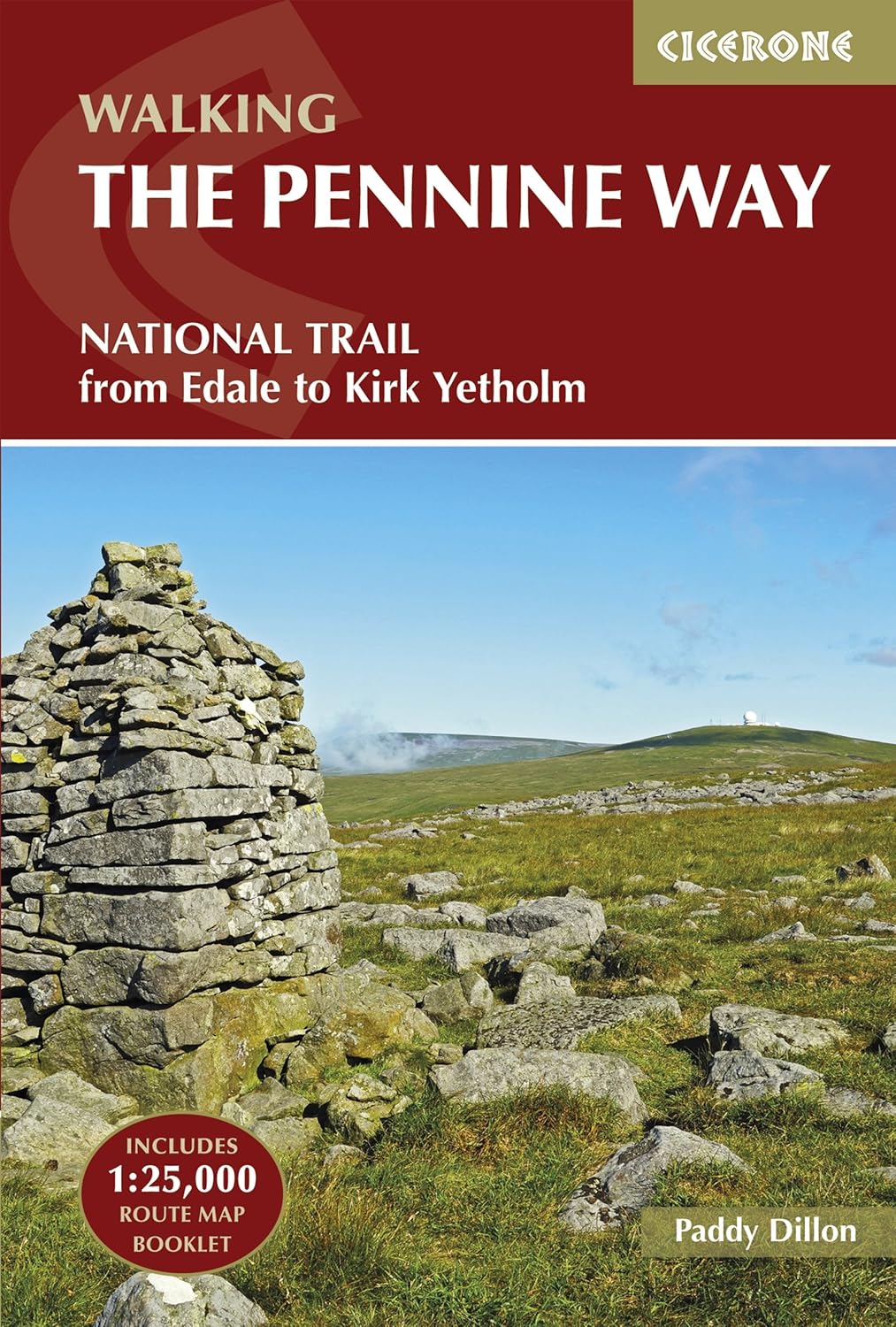
The Pennine Way, England's first National Trail, enters the Dales from the south at Malham and winds northward through Pen-y-ghent and Swaledale (passing Keld and Tan Hill) and on into Teesdale beyond. Walking a section of it, such as Malham to Pen-y-ghent or Keld to Tan Hill, is a splendid way to experience the Dales' variety.
|
|
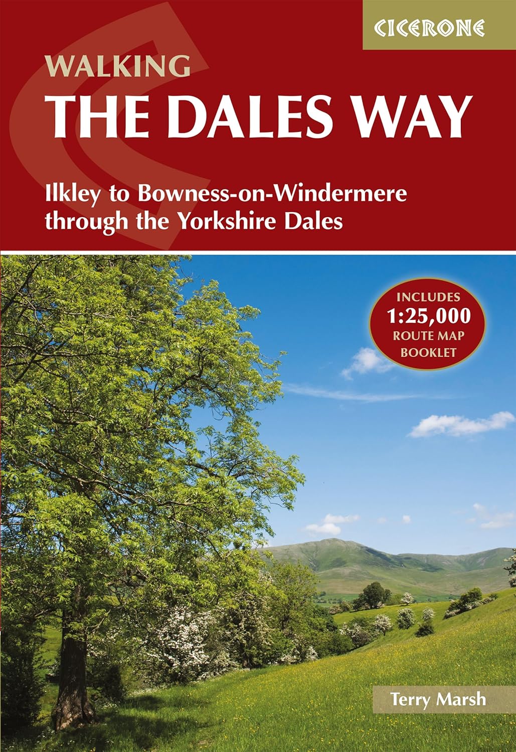
The Dales Way is a delightful 80-mile route from Ilkley to the Lake District, which follows river valleys through Wharfedale and Dentdale. Many people do it in a week, but you can sample parts: a favourite stretch is Grassington to Buckden along the Wharfe, relatively easy and very pretty.

Ghaistrill's Strid at Grassington in the Yorkshire Dales
|
|
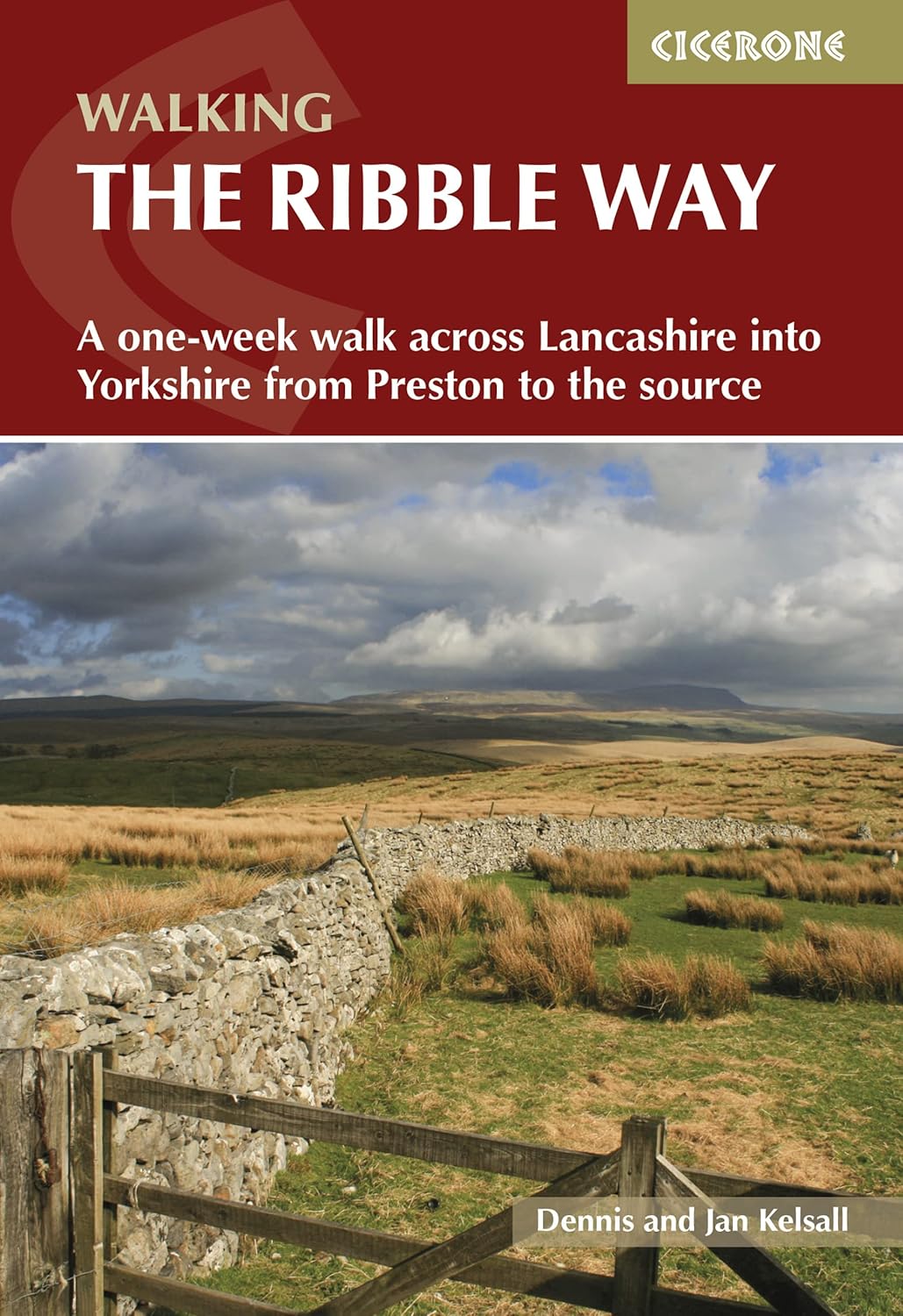
The Ribble Way is a scenic long-distance footpath that follows the course of the River Ribble for about 70 miles (113 km) from its source near Ribblehead in the Yorkshire Dales to the river's mouth at the Irish Sea in Lytham, through some of northern England's most picturesque and varied. The route showcases a rich variety of landscapes, including limestone dales, lush farmland, historic towns, and tidal estuaries.

|
|
There's also the Coast to Coast route, which, although not an official National Trail, is extremely popular and passes through Swaledale on its journey across England - hence places like Reeth and Keld often accommodate weary coast-to-coasters for a night.
The Coast to Coast is being upgraded and is expected to become a National Trail by 2026.
|
|
If you prefer something shorter, the Herriot Way is a four-day loop inspired by James Herriot's stories, covering fifty miles through Wensleydale and Swaledale.
You don't need to commit to mega-hikes to enjoy walking here. There are wonderful shorter walks all around. For example, a circular walk from Malham takes you to Janet's Foss, Gordale Scar, up and over to Malham Cove, and back to the village - all within about 5 miles with unparalleled scenery (one of the best short hikes anywhere).

Janet's Foss at Malham
In Wensleydale, experience the Aysgarth Falls walk, a leisurely 2-3 mile trail that links Upper, Middle, and Lower Aysgarth Falls through woodlands and alongside the river. It is perfect for families, with the option to visit nearby Bolton Castle afterwards.
The Ingleborough Nature Trail from Clapham provides a gentle introduction to the limestone landscape, passing by Ingleborough Cave and a waterfall, with options for the more adventurous to extend their trek up to Gaping Gill. Additionally, for those staying near Reeth, the 'Cataract Trail' from Muker to Keld is a scenic 3-mile stretch along the Swale, featuring a series of small waterfalls and lush woodland, which is especially lovely in spring. The National Park Authority publishes pamphlets for these circular walks, and the tourist centres can suggest many more.
Whatever walk you choose, always go prepared with a map (Ordnance Survey OL2 and OL30 cover the park), a good rain jacket (weather can change quickly on the fells), and sturdy boots. If you're planning longer day walks, check out our recommended kit list.
If you want a change from walking, the Yorkshire Dales offer plenty of other outdoor pursuits:
The Dales has become a cycling hotspot, especially since the 2014 Tour de France Grand Départ featured stages here (remember the images of cyclists charging up Buttertubs Pass cheered by thousands?). Road cyclists will relish the challenge of those same climbs - Buttertubs Pass (between Swaledale and Wensleydale) and Fleet Moss (a steep ascent out of Wharfedale) are two of England's toughest.
But there are gentler rides as well, like the Swale Trail (a 20km family-friendly route from Reeth to Keld, largely off-road) and the Yorkshire Dales Cycleway, a 130-mile circular tour on quiet lanes that takes in numerous beauty spots. You can hire bikes in several towns (Hawes, Reeth, Grassington, etc.) and enjoy endless country lanes.
For mountain bikers, purpose-built trails aren't really common here, but numerous bridleways and old mining tracks offer thrilling off-road routes - for example, around Gisburn Forest or along Cam High Road (a Roman road) near Bainbridge. Just be prepared for rocky terrain and some boggy moor crossings - true MTB adventuring.
As mentioned, the Dales are a mecca for cavers. If you're experienced, you likely already have plans for famous systems like Alum Pot, Long Churn, or the epic through-trip from Gaping Gill to Ingleborough Cave.

The entrance to Ingleborough Cave
For novices or the curious, some outdoor adventure companies offer beginner caving experiences where an instructor will guide you safely into a suitable cave - a fantastic way to sample the underground world beyond the show caves. You may wriggle through passageways, possibly get a bit wet, and see formations by headlamp - an unforgettable experience.
White Scar Cave also occasionally offers special extended tours for a deeper experience (check their schedule). Always go with proper gear and guidance; cave environments are dangerous if you are unprepared. But under the watch of professionals, it's like entering a secret dimension of the Dales that few get to see.
The limestone crags and gritstone outcrops of the Dales offer numerous climbing opportunities. Malham Cove's sheer face is one of the premier sport climbing walls in the UK (elite climbers test themselves on its overhanging routes - not for beginners!).
Nearby Gordale Scar also features bolted routes. For traditional climbing, Almscliff Crag and Brimham Rocks (toward the east, technically in Nidderdale AONB) are popular spots with routes for various skill levels.

Gordale Scar at Malham in the Yorkshire Dales
Kilnsey Crag in Wharfedale boasts another iconic massive overhang (more suited for experienced climbers). If you're not a climber but seek excitement, you might find local companies providing guided abseiling off some crags or viaducts. There's nothing quite like rappelling off a 60-foot limestone cliff to get the heart racing!
While the Dales aren't known for large lakes (that's the domain of the Lake District), there are options available. Kayaking or canoeing can be enjoyed on portions of the River Wharfe and Ure by skilled paddlers, particularly after rainfall (though beware of water levels and always seek local advice about which stretches are navigable/legal).
Semerwater, a small lake in Raydale (Wensleydale), I believe, permits canoeing and wild swimming. Speaking of which, wild swimming in the Dales' rivers has become increasingly popular on hot days - places like Stainforth Force (near Settle) feature natural pools for people to take a dip. Just exercise caution regarding currents and cold water.
Angling is another delightful way to enjoy the water - the rivers are renowned for trout and grayling, with several fly fishing schools operating in Wensleydale and Wharfedale. You will need to check whether you need a permit.
Exploring the Dales on horseback is a joy that many overlook. Riding centres offer treks in areas such as Malham, Wensleydale, and the Howgill Fells. Following old bridleways, you can trot through valleys.
For the truly adventurous, the Dales boast several popular paragliding and hang-gliding sites. On a fine day, you might see them launching off the slopes of Wether Fell in Wensleydale or Nappa Scar. There are training schools if you fancy learning, or tandem flights if you simply wish to enjoy the experience without extensive training - just imagine soaring like a bird over the patchwork of fields and dry stone walls; it offers an incredible perspective on the landscape.
While the natural scenery is the main attraction, the Dales also feature a range of man-made attractions, historic sites, and cultural experiences. Spending a day or two exploring these can greatly enrich your trip (and give your legs a break from all that walking!). Here are a few highlights that are well worth lingering over:
The Ribblehead Viaduct is an icon of Victorian engineering and is encountered on the Yorkshire Three Peaks Walk. Twenty-four majestic arches carry the railway 104 feet above the moor, set against the backdrop of Whernside. It's beautiful in a stark way - a testament to human endeavour amidst wild nature.

Whernside from the Ribblehead Viaduct
You can simply drive or walk to it (there's nearby layby parking at Ribblehead) and gaze, but better yet, catch a train across it! Riding the Settle-Carlisle line, especially north from Settle, is a journey back in time, passing through tunnels and over high fells. The railway was nearly closed in the 1980s but was saved and is now celebrated. Occasionally, steam trains run for special excursions, adding even more magic. Don't forget your camera - a photo of the viaduct with a train on it, tiny against the grand landscape (often with Pen-y-ghent visible in the distance), is a classic Dales shot.
The Dales have their fair share of castles, each with its own unique character.
In Wensleydale, Bolton Castle (14th century) stands impressively intact, once the prison of Mary Queen of Scots. You can tour its rooms, climb the towers, and enjoy falconry demonstrations in summer. It overlooks the village of Castle Bolton and the surrounding dale - very atmospheric.
Over in Skipton (just south of the National Park boundary), Skipton Castle is one of the best-preserved medieval castles in England, complete with a dungeon and a great hall - a great diversion if arriving via Skipton.
In Swaledale, you can find the ruins of Richmond Castle (actually just outside the park in the town of Richmond) - Norman in origin with towering walls above the River Swale.
More a folly than a castle, Mortham Tower near Barnard Castle, on the edge of the area, and Neville's Castle in Arkengarthdale are interesting ruins for history enthusiasts.
Additionally, the Dales are dotted with remnants of abbeys on the fringes - like Jervaulx Abbey in lower Wensleydale, a ruined Cistercian abbey now covered in romantic wildflowers, or Fountains Abbey a bit further east, a UNESCO World Heritage site. Although technically outside the park, it is worth combining with a Dales trip.
To explore local heritage, there are small museums such as the Dales Countryside Museum in Hawes, which covers farming history, lead mining, crafts, and features a preserved Victorian railway station.

Folk Museum in Grassington
The Wensleydale Creamery in Hawes also features a small museum dedicated to cheese-making, and at Grassington there is a Folk Museum. At Malham Tarn, there's a Field Studies Centre providing information about the natural environment. If industrial history intrigues you, the Yorkshire Dales Mining Museum (in Earby, near the southern boundary) or the Greenhow Hill Mines near Pateley Bridge illuminate the lead mining that once thrived here.
For a gentler pace, visit spots like Parcevall Hall Gardens in Wharfedale - a hidden gem featuring terraced gardens, woodlands, and water features with stunning views.
Aysgarth Edwardian Rock Garden is a quirky, small rock garden built during the Arts and Crafts era. Nature reserves such as Malham Tarn Nature Reserve and Ingleborough National Nature Reserve (at the top of Ingleborough) offer guided walks at certain times to learn about rare plants, orchids, butterflies, and more.
In summer, walking through the hay meadows in places like Muker or near Hawes is an attraction in itself; the variety of wildflowers and insects in these traditionally managed meadows is astonishing, particularly from late June to early July before the harvest begins.
To truly experience the Dales, immerse yourself in its culture. If possible, time your visit for a village show or agricultural fair - for example, the Kilnsey Show (late August) is a big draw, featuring sheepdog trials, fell races, livestock competitions, and more (a genuine Yorkshire country fair).
There's also the Muker Show in September, the Reeth Show, Hawes Gala, and others, each offering sheep showing, produce competitions (ever seen a prize-winning stick or the longest runner bean contest?), and plenty of community spirit.
Music-wise, the Swaledale Festival (late May/early June) brings classical, folk, and jazz concerts to churches and halls throughout the Dales. And for quirkier events: aside from Kettlewell's Scarecrow Festival, there's the Burning of Old Bartlein West Witton (a peculiar effigy-burning ritual in late August) and various fell running races (if you fancy watching wiry locals sprint up almost vertical hills). Visiting during one of these events offers a charming insight into local life.
For those who love to bag summits or are simply curious about the lay of the land, here are the ten highest hills in the Yorkshire Dales, in descending order of height. These are the giants of the Dales, each with its own character and offering sweeping views from the top. Several have already been mentioned above - the famous Three Peaks are among them - but there are a few lesser-known ones too!

Whernside and the Ribblehead Viaduct

The Yorkshire Three Peaks Challenge walk path heading through some limestone on the way to Ingleborough

The Yorkshire Three Peaks Challenge path as it heads towards Pen-y-ghent
Just remember: safety first - the
weather
on these tops can be harsh, even in summer (fog, wind, and rain can appear quickly), so go prepared with navigation tools and a
proper kit,
and always tell someone your plan.
The United Kingdom traditionally considers any summit over 2,000 feet a 'mountain' (by height, if not always by rugged character). In the Yorkshire Dales National Park, by modern counts, there are 41 such summits over 610 m. Bagging them all is a wonderful challenge for dedicated hikers. But even if you're not ticking off lists, it's interesting to know their names.
To wrap up our guide, here's a collection of fun facts and trivia about the Yorkshire Dales - the kind of titbits you can impress your walking companions with, or that might spark your curiosity to learn more. The Dales are full of surprises beyond the obvious, so let's delve into some of these interesting nuggets:
Most dales are named after their river (e.g., Swaledale for River Swale, Wharfedale for River Wharfe). But Wensleydale breaks the rule - it's the only major Yorkshire dale not named for its river. The river running through Wensleydale is the Ure; the dale takes its name from the village of Wensley. In fact, some maps in the 1800s called it 'Yoredale'. Thank goodness 'Wensleydale cheese' kept its name and not 'Uredale cheese'!
The Yorkshire Dales is home to the Tan Hill Inn, which at 1,732 feet (528 m) above sea level is the highest pub in the British Isles. It sits in splendid isolation on a moor at the north end of Swaledale. This 17th-century inn is famous for its remote charm - so remote that at times winter snows trap patrons inside for days (indeed, a group got snowed in for three nights with an Oasis cover band in 2021, making international news!). If you visit, you can enjoy a pint by the fire knowing you're literally on top of the (pub) world.
Hardraw Force in Wensleydale is often cited as England's tallest single-drop waterfall, plunging about 30 meters (100 ft) in one go. It's tucked behind the Green Dragon Inn in Hardraw - and yes, you access it by walking through the pub (there's a small fee). The waterfall features in the film Robin Hood: Prince of Thieves (1991) - in a scene, Kevin Costner's Maid Marian bathes under it. It's a magical spot with or without film trivia, set in a mossy amphitheatre of rock.
Wensleydale cheese, the crumbly delicacy from Hawes, was nearly a casualty of modern times. By the early 1990s, production had declined, and the Creamery was facing financial difficulties. Enter claymation heroes Wallace and Gromit. The inventor and his dog adored cheese, 'Wensleydale' in particular, and after the short films aired (starting in 1989 and especially with A Close Shave in 1995), demand for Wensleydale cheese surged, aiding in the Creamery's salvation. The Creamery even boasts a Wallace & Gromit-themed range now. Cracking good story, eh?
The quiet moors of the Dales were once a hive of industry. During the 18th and 19th centuries, the Dales (especially Swaledale, Arkengarthdale, and Wharfedale) were significant lead mining areas. Ruined smelting mills, spoil heaps, and occasional mine shafts (careful where you step off-path!) still dot the landscape. Many place names like 'Levels', 'Hush', or 'Smelt Mill Gill' hint at this past. The term 'hush' refers to an old technique of using water to expose veins, leaving oddly shaped ravines on hillsides. The Grassington Moor Lead Mining Trail is a fantastic way to explore this heritage. The boom in mining brought relative prosperity but then a decline. By the late 19th century, most mines had closed due to the arrival of cheaper lead from abroad. Today, it's a hidden history you can literally walk through.
The region's countless miles of dry stone walls (over 5,000 miles within the NP) are not only scenic but also historic. Many were built during the Enclosures (1760-1820), but some walls are much older, possibly medieval or earlier, indicated by their irregular lines, as opposed to straight enclosure walls.
The craft of dry stone walling is highly valued ands passed down through generations, and the Dales hosts walling competitions. These walls also act as wildlife corridors - small mammals and birds use them for shelter and navigation. So when you hike and see a tiny stoat or weasel dart between wall gaps, or hear a wren chirping from inside a wall, you're witnessing nature and tradition working together.
The Yorkshire Dales have inspired writers and been the setting for beloved stories. The classic veterinary tales of James Herriot are set in a fictionalised Dales (Darrowby = Thirsk/Grassington, etc.), which have now come alive again in the new TV series of All Creatures Great and Small.
The Dales also featured in 'The Calendar Girls' film (Kettlewell and Burnsall areas), and in earlier TV shows such as Emmerdale (the original village exterior shots were in Arncliffe and then Esholt, outside the park) and Heartbeat (filmed in Goathland in the North York Moors, but occasionally in the Dales too).The dramatic limestone pavement scenes in 'Harry Potter and the Deathly Hallows Part 1' were shot on top of Malham Cove. So, if Malham Cove felt magically familiar, now you know why!

The limestone pavement above Malham Cove as used in the Harry Potter and Deathly Hallows - Part 1 film
Under the Dales lies the immense Three Counties Cave System, the longest cave network in Britain at around 87 km (54 miles) mapped so far. It's called Three Counties because it spans the areas of North Yorkshire, Cumbria, and Lancashire.
Cavers are still exploring and extending it - it's a labyrinth of passages connecting caves like Easegill, Lost John's, and Notts Pot. While much of this is the domain of expert cavers only, it's astonishing to think that as you drive or walk on the surface, entire rivers and cathedrals of stalactites are concealed beneath. One day, who knows, they might link it to others and discover over 100 miles of cave under the Dales!
Star-gazers rejoice - the Yorkshire Dales, designated as a Dark Sky Reserve, boasts some of the darkest night skies in the country. On a clear night, you can see thousands of stars and the Milky Way with the naked eye. The park hosts an annual Dark Skies Festival in winter (usually in February/March), featuring events such as guided night walks, astronomy talks, and telescope observing sessions.
Imagine ending a day of hiking by lying on the grass near Ribblehead or Malham, gazing up at a glittering canvas of stars undimmed by city lights. It's awe-inspiring and serves as a reminder that this 'guide for walkers' covers a place that's equally amazing after sundown.
We hope this comprehensive guide has not only informed you about the Yorkshire Dales, but also conveyed the passion and warmth locals feel for this special place. From the limestone scars to the cosy bars, from the peaks to the pubs, the Dales truly have everything for walkers and nature lovers. Enjoy your adventures, take your time, and make yourself at home in the Yorkshire Dales - we're sure you'll grow to love it as much as we do.
Safe walking and happy exploring...